Infrastructure and civic environments
SBL has built geospatial and BIM-led systems for governments, infrastructure owners and conservation programs where physical assets need a digital operating layer.
GIS - BIM - LiDAR - digital twins


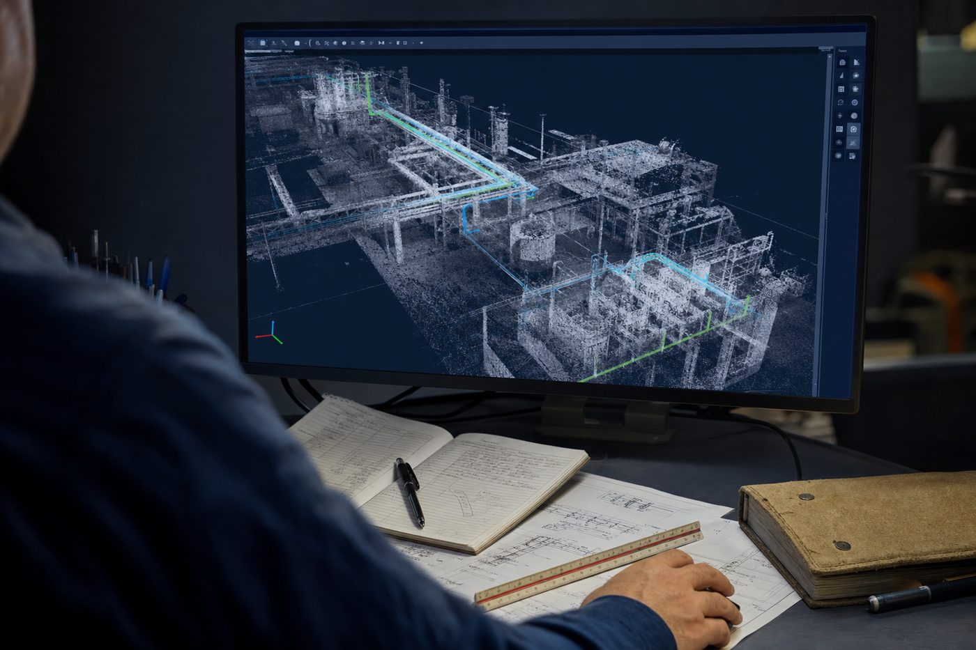
GIS, BIM, LiDAR and digital twin systems for infrastructure, governance, conservation and asset management.
SBL connects physical assets, geospatial data and operational intelligence through GIS, BIM, LiDAR and digital twin systems.
The goal is not drafting or mapping alone. The goal is an operating view that helps owners, governments and infrastructure teams understand assets, risk, change and service delivery.
Spatial intelligence combines capture, modeling, integration and decision support.
Location intelligence for governance, conservation, infrastructure and enterprise operations.
Asset models that support planning, renovation, compliance and operation.
High-fidelity capture for infrastructure, utilities and complex built environments.
Connect asset models with operational data and decision workflows.
Urban systems, public infrastructure and service-delivery planning.
Spatial systems for environment, forest, disaster and public-sector programs.
We keep the engagement short, evidence-led and close to the workflow that has to change.
Review drawings, scans, maps, imagery, asset records and the decisions the model must support.
Set the GIS, BIM, LiDAR, metadata, accuracy and handover requirements before production.
Capture, classify, model and validate spatial data with documented QA checkpoints.
Deliver the model, dashboard, dataset or digital twin into the planning or operations workflow.
Each engagement leaves behind usable artifacts, controls and operating evidence.
Best when physical assets, land, infrastructure or environmental data must become an operational decision layer rather than a static drawing or map.
Point-cloud classification structured for utility visibility and asset decisions.
Read case study -> Clean energyCity-scale rooftop analysis converted imagery into solar feasibility intelligence.
Read case study -> BIMA complex built environment translated into a validated model for planning and coordination.
Read case study ->SBL has built geospatial and BIM-led systems for governments, infrastructure owners and conservation programs where physical assets need a digital operating layer.
We will scope the spatial intelligence layer that connects the physical environment to decisions.