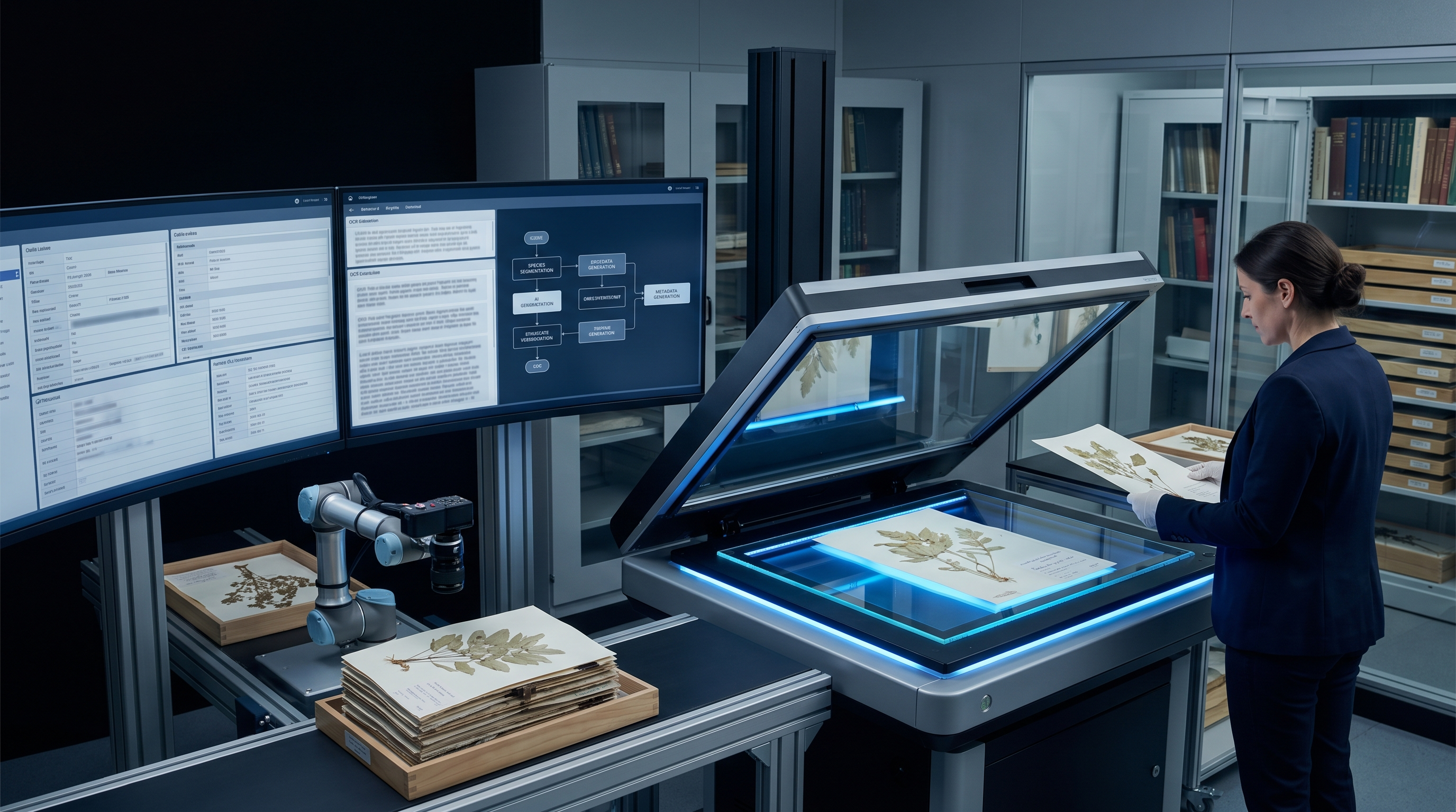
This case study shows how SBL turns operational complexity into a governed digital operating model where workflow, data, quality and decisions can be managed together.
The institutional challenge
- Resource scarcity: A critical lack of in-house GIS specialists to handle complex spatial data.
- Data Complexity: Reports contained a mix of text, large-scale maps, and photographs that standard capture couldn't handle.
- Aggressive Timeline: The entire archive required data modernization and smart-map validation within a strict 90-day window.
What SBL engineered
- Transformed legacy information into searchable, secure and AI-ready institutional knowledge.
- Preserved context, provenance and validation controls so the records could support trusted decisions.
- Built the work as a governed records-intelligence program rather than a one-time conversion task.
- Consult & Align: Mapping technical report structures and defining GIS accuracy benchmarks.
- Workflow Setup: Mobilizing a specialized team of GIS experts and capture technicians.
How the work should be understood
SBL's role is not limited to executing a task. The value comes from understanding the operating workflow, engineering the data and automation layer, applying governance controls, and helping the institution move from manual dependency to intelligent, measurable operations.