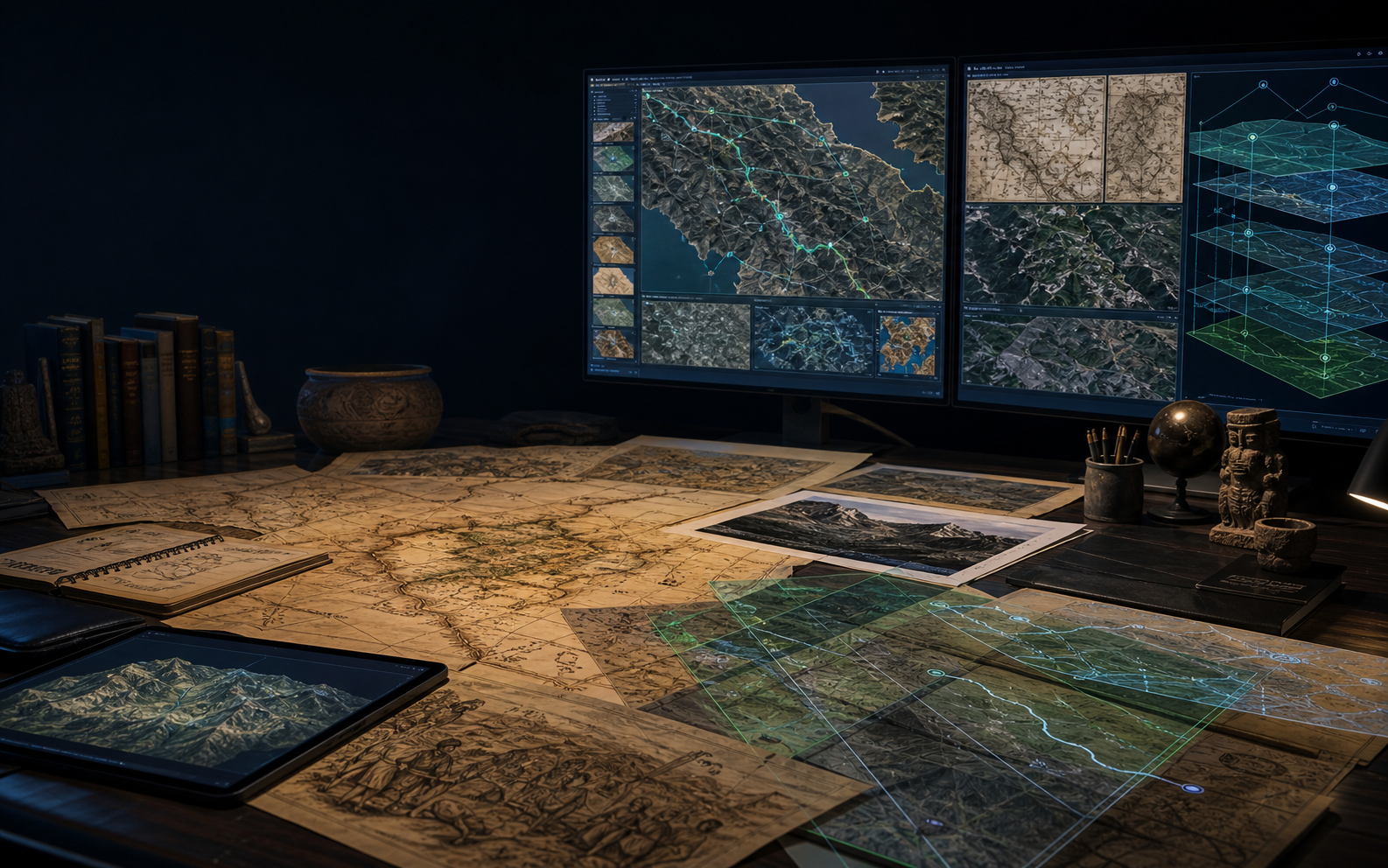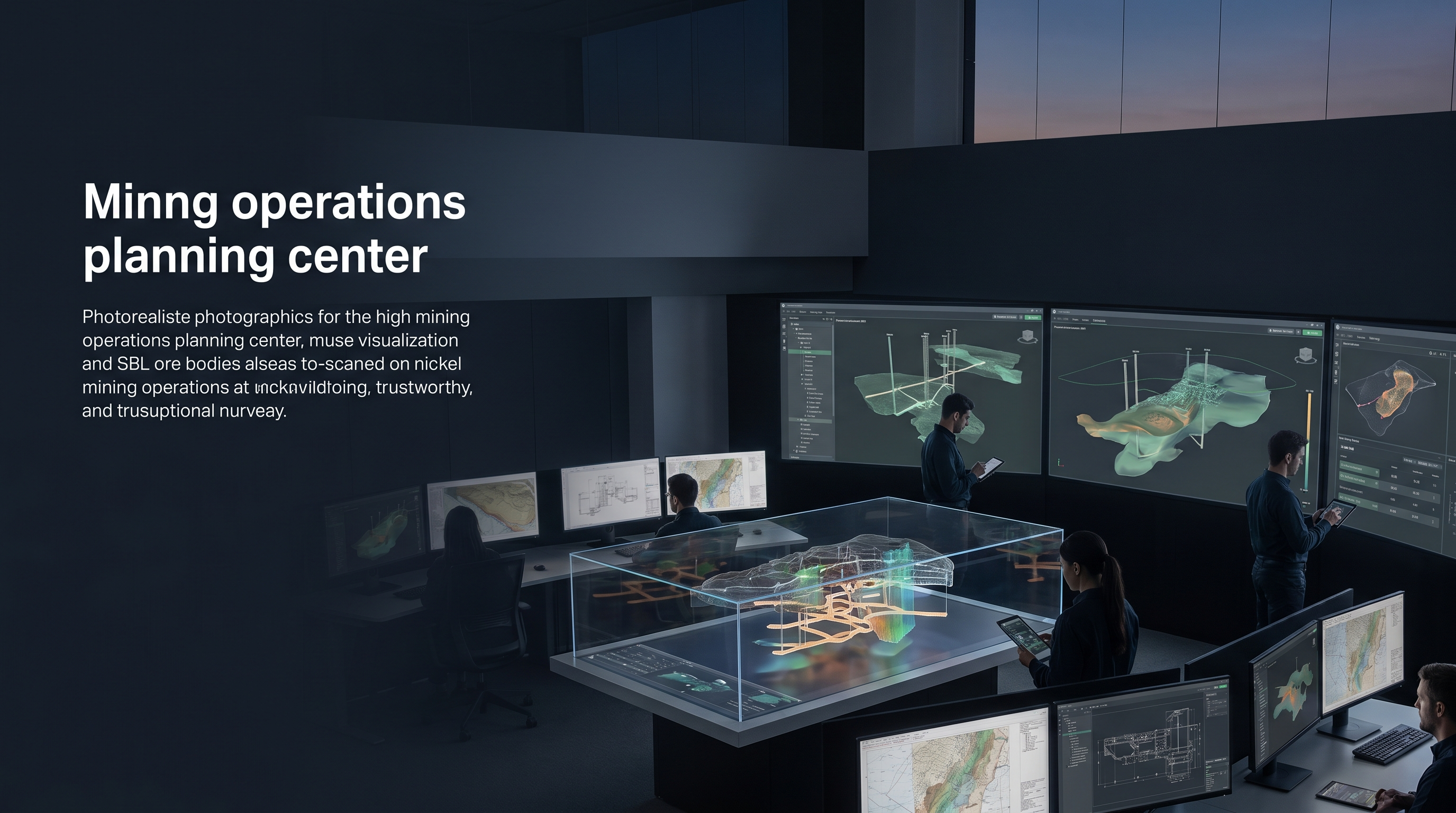
This case study shows how SBL turns operational complexity into a governed digital operating model where workflow, data, quality and decisions can be managed together.
The institutional challenge
- Terrain Complexity: Creating accurate Digital Surface Models (DSM) and Digital Terrain Models (DTM) from high-density drone imagery.
- Volumetric Precision: The need for millimetre-accurate stockpile assessments to ensure supply chain and financial reporting integrity.
- Engineering Integration: Ensuring all 3D vector data was extracted and delivered in formats (DGN) compatible with existing mine planning software.
What SBL engineered
- Converted physical, geospatial and asset evidence into structured spatial intelligence.
- Applied GIS, BIM, LiDAR or mapping workflows with accuracy controls and governance-ready outputs.
- Delivered decision-ready models that support infrastructure planning, conservation, inspection or asset management.
- Consult & Align: Defining Ground Control Point (GCP) requirements and 5cm GSD benchmarks.
- Workflow Setup: Mobilizing a specialized photogrammetry team proficient in Pix4D and Summit Evolution.
How the work should be understood
SBL's role is not limited to executing a task. The value comes from understanding the operating workflow, engineering the data and automation layer, applying governance controls, and helping the institution move from manual dependency to intelligent, measurable operations.