

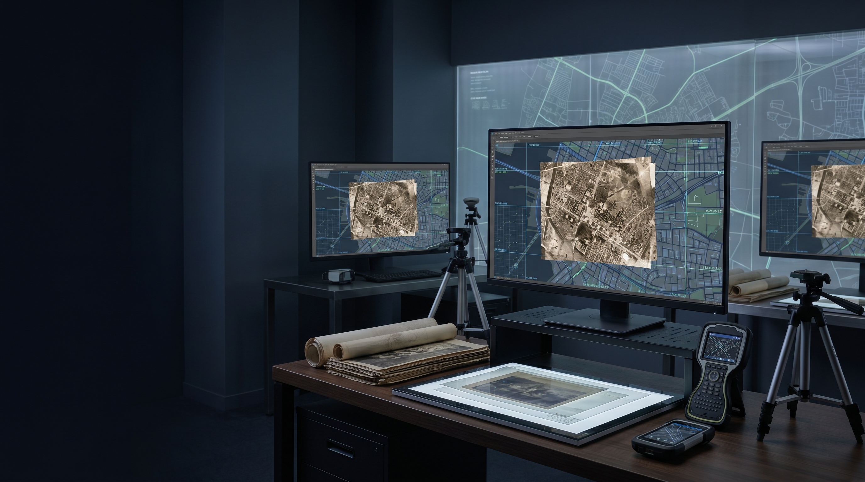
A historical aerial photograph shows a city at one moment. Georeferenced properly, it becomes part of a time series that can support planning, conservation, infrastructure review and environmental analysis.
The photograph has to be placed back into geography
A vintage aerial photograph is not automatically GIS data. It needs control points, coordinate systems, distortion correction, metadata and quality checks before it can be compared with current maps.
Esri's digital twin material stresses that geospatial twins become stronger when they unite diverse datasets and reflect change over time. Historical imagery is one of the richest change layers a city can add.
SBL's Laval-style work, with 6,300+ vintage photographs dating from 1940 to 1990, is an example of this conversion from image archive to temporal urban intelligence.
The QA problem is spatial, not cosmetic
A cleaned image can still be wrong if it is poorly georeferenced. The quality question is not whether it looks clear, but whether features align within acceptable tolerance.
Control point selection, RMSE thresholds, software workflow and reviewer checks all matter. The metadata should make those choices visible to future users.
Without that evidence, planners may trust a layer that is visually persuasive but spatially weak.
Time changes what the data means
Historical imagery supports questions current data cannot answer. Where did a shoreline move? Which informal roads became formal routes? How did industrial land convert to residential use? Where did tree cover disappear?
Those questions require consistent temporal layers. Each image must be dated, placed and documented well enough to compare across decades.
This is why the work belongs in spatial intelligence, not only archive digitisation.
Build for future researchers
The most useful historical imagery projects leave a transparent record: source image, scan quality, control points, coordinate reference system, transformation method, QA result and derivative formats.
That evidence helps future planners and researchers understand the limits of the layer. It also protects the institution from overclaiming precision.
A city that treats historical imagery as governed spatial data gains more than a map. It gains memory that can be queried.
Questions teams ask before they start
What is georeferencing?
It is the process of aligning an image or map to real-world geographic coordinates using control points.
Why use historical aerial imagery?
It helps cities study land-use change, infrastructure history, environmental shifts and long-term urban growth.
What QA evidence matters?
Control points, RMSE values, coordinate systems, transformation method and reviewer approval should be preserved.